SYPNOSIS:
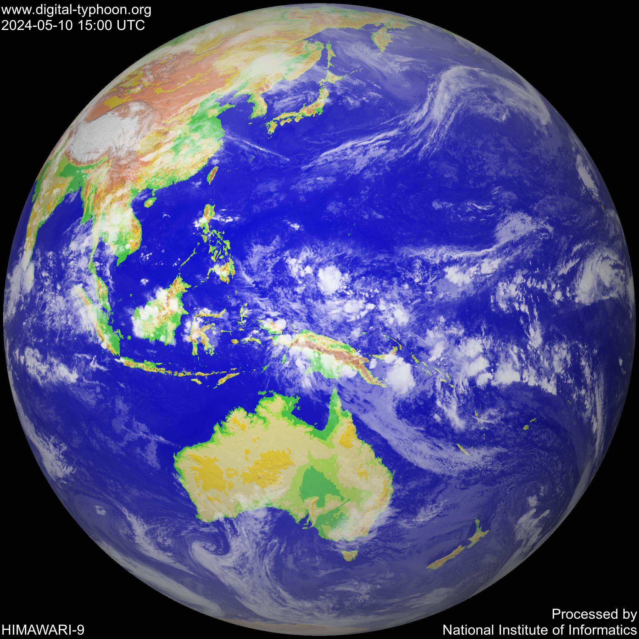
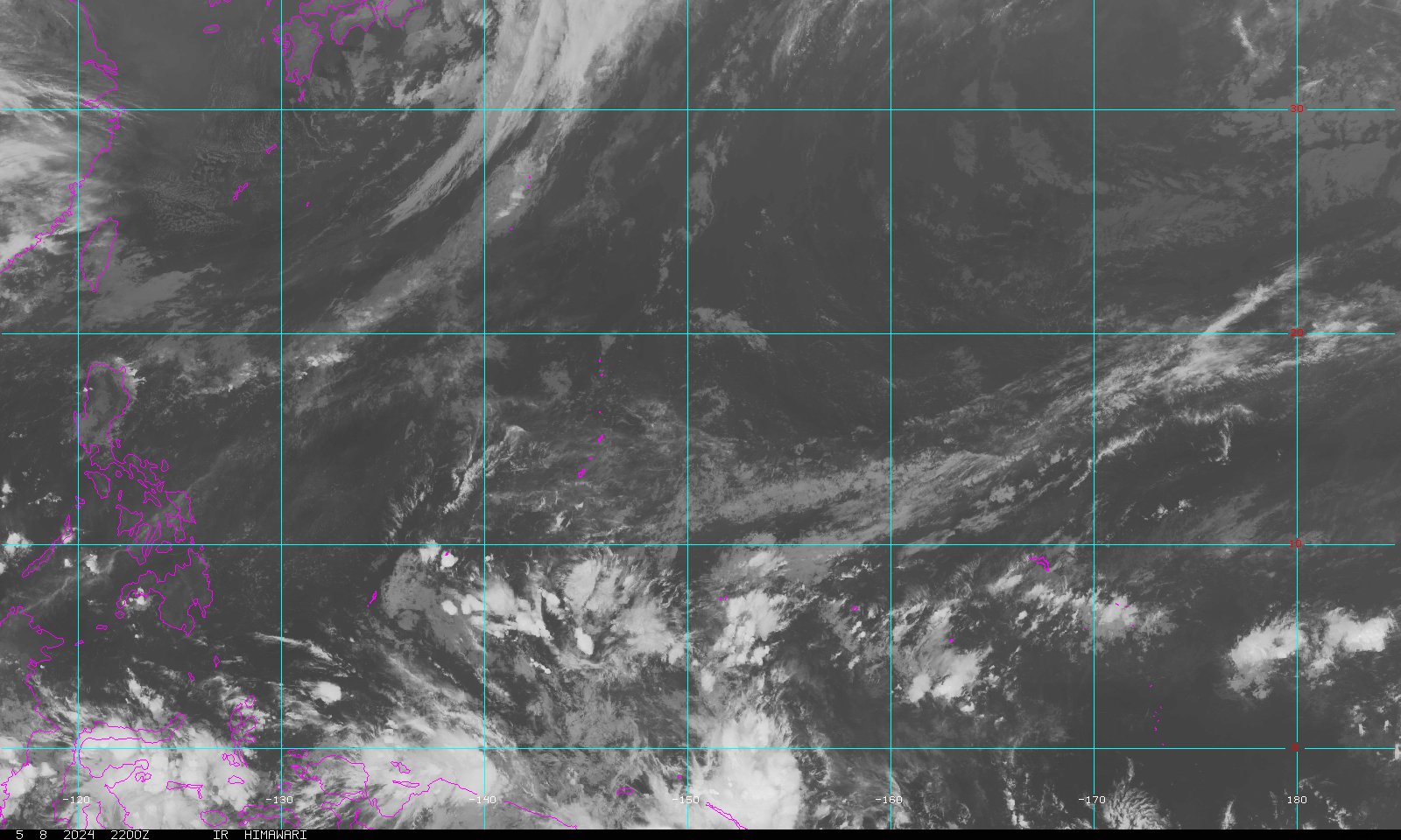
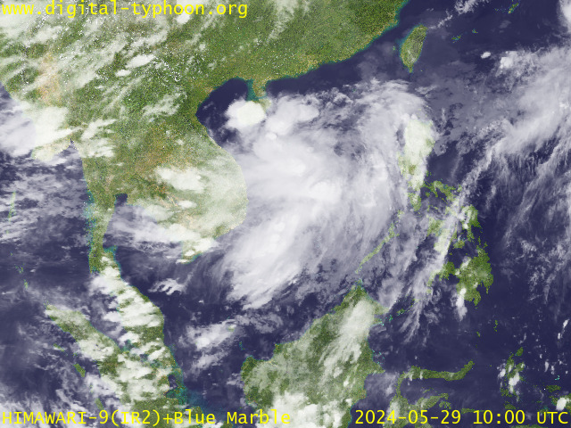
At 2:00 p.m. today, a Low Pressure Area (LPA) was estimated in the vicinity of Tagbiliran City (09.7°N, 123.9°E). Northeast monsoon affecting Northern and Eastern Luzon.
FORECAST:
Southern Luzon and Visayas will experience cloudy skies with scattered rainshowers and thunderstorms. The rest of the country will be partly cloudy to cloudy with isolated rainshowers or thunderstorms.
Moderate to strong winds blowing from the Northeast will prevail over Luzon and Visayas, and coming from the Northeast to Northwest over Eastern Mindanao and the coastal waters along these areas will be moderate to rough. Elsewhere, winds will be light to moderate coming from the Northeast to Northwest with slight to moderate seas except during thunderstorms.
(in Filipino)
Showing posts with label Y. Show all posts
Showing posts with label Y. Show all posts

Subscribe to:
Posts (Atom)
SEA LEVEL PRESSURE

rammb.cira.colostate.edu/projects/gparm/data/current/mtxyrpsf.gif